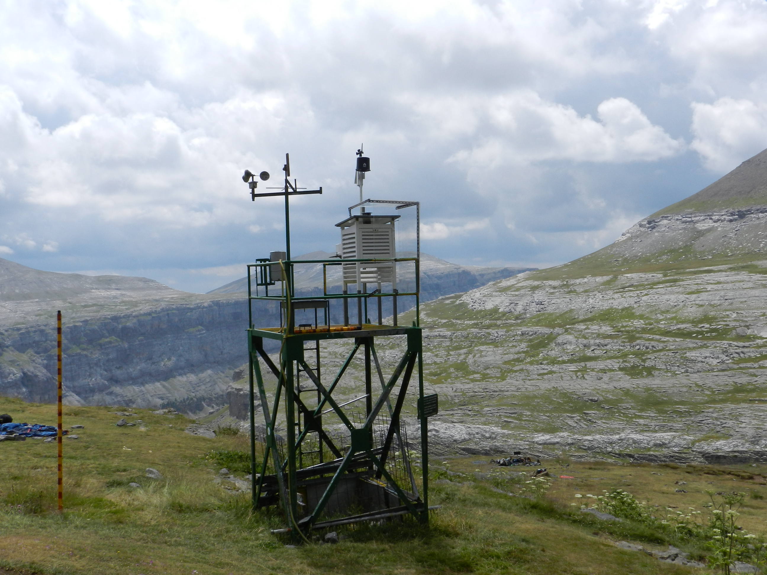
The Refuge of Goriz station is located at 2200 m asl in Ordesa National Park, in a flat area in a subalpine environment with no vegetation, before the stiff climb to the summit of Monte Perdido (3355 m), the third highest mountain in the Pyrenees.
The refuge is opened all year-round.
Goriz dataset is the longest instrumental record of snow depth, temperature and precipitation in the Spanish Pyrenees with more than 30 years of data records.
Snowfalls are frequent with maximum measured snow depths of almost 350 cm
Other Networks to Which This Contributing Station Belongs
AEMET network
Measurement Methods Used
WMO Technical Regulations
CIMO
Data Information
Are the data quality controlled? yes
How are the data accessible? FTP
Data availability (may depend on the variable measured): in near real-time
Measurements
The measurements made at Goriz are listed in the following tables. (Note: If End Year is blank, measurements are ongoing.)

The refuge is opened all year-round.
Goriz dataset is the longest instrumental record of snow depth, temperature and precipitation in the Spanish Pyrenees with more than 30 years of data records.
Snowfalls are frequent with maximum measured snow depths of almost 350 cm