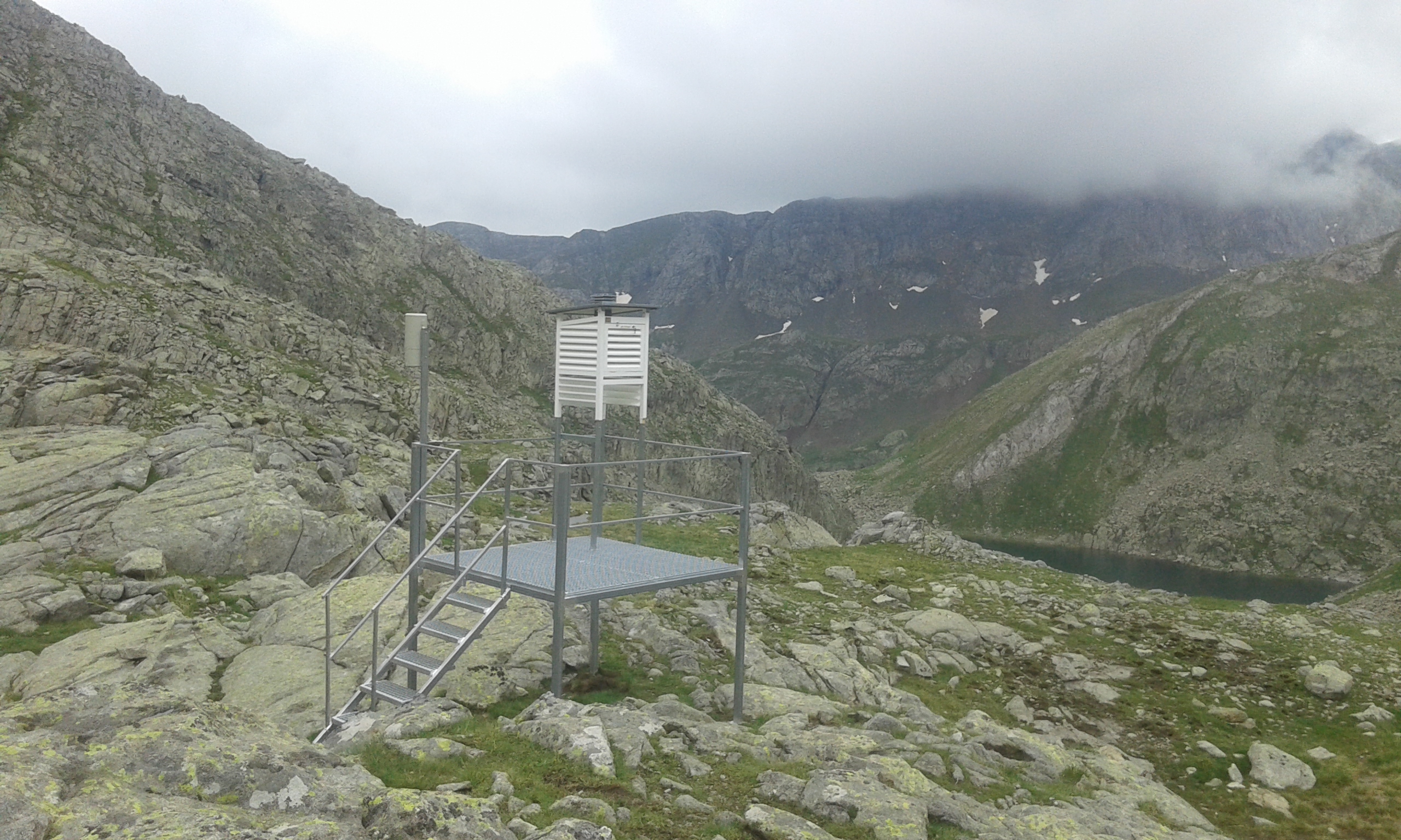
The Refuge of Llauset station is located at 2425 m asl in Posets-Maladeta Regional Park, in an alpine environment with no vegetation in the south face climb to the summit of Aneto (3404 m), the highest summit in the Pyrenees. It is also located close to Maladeta Glacier, the largest glacier in the Pyrenees.
The refuge is opened all year-round.
It is the highest manual station of the Pyrenees (2425 m)
Other Networks to Which This Contributing Station Belongs
AEMET
Measurement Methods Used
WMO Technical Regulations
Data Information
Are the data quality controlled? yes
How are the data accessible? FTP
Data availability (may depend on the variable measured): in near real-time
Measurements
The measurements made at LLauset are listed in the following tables. (Note: If End Year is blank, measurements are ongoing.)

The refuge is opened all year-round.
It is the highest manual station of the Pyrenees (2425 m)