 |
Metadata
|
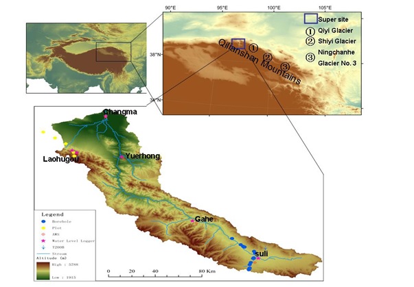 |
Qilianshan site
Integrated CryoNet Cluster Information
Stations in This Site
This site is comprised of the following stations:
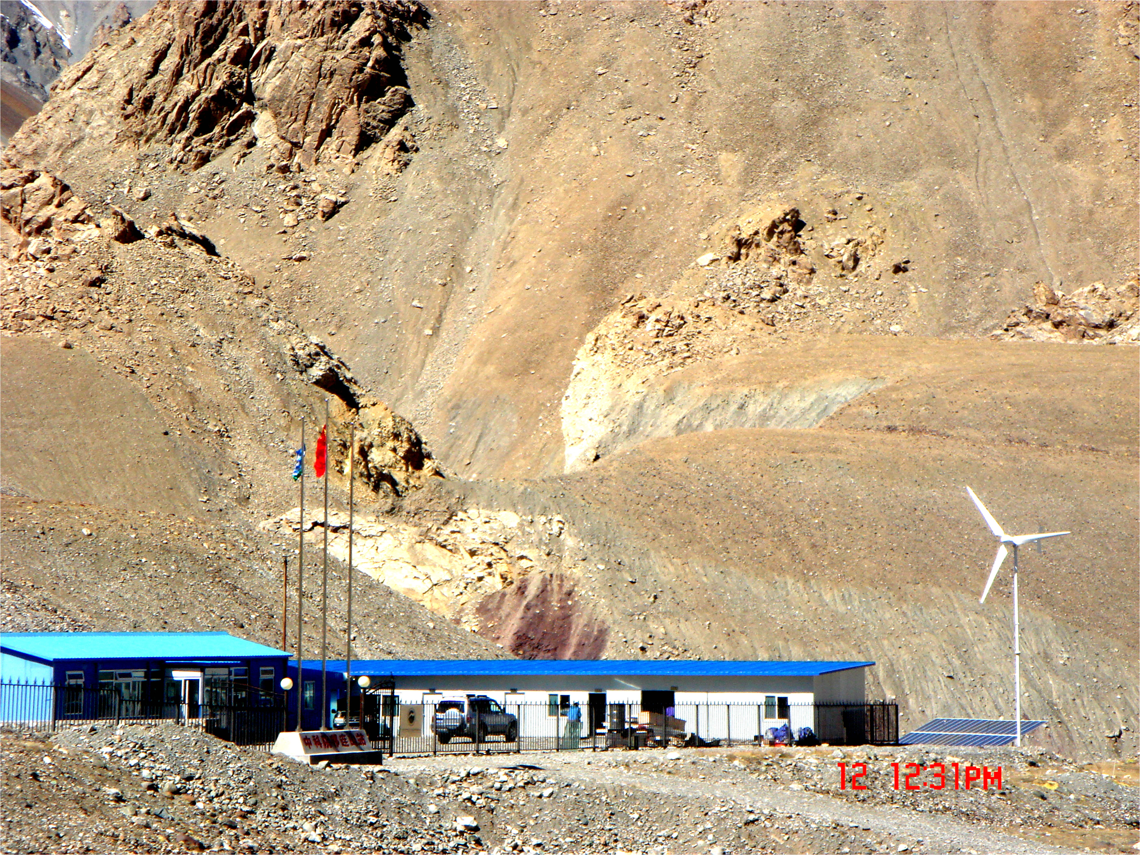
- laohugou station - CryoNet Station
- Suli station - CryoNet Station
Broad Research Focus
1.Cryospheric Processes: carrying out routine monitoring of various parameters of cryosphere, establishing the glacier dynamics model, glacier/snow/frozen ground mass-energy model, and estimating future changes in glacier/frozen ground.
2.Hydrological Processes and Water Resources: Building the basin hydrological model, which includes glacier changes, snow melt and permafrost thawing?combining the prediction of climate change scenarios, driven hydrological model?Expecting the impact of glaciers, snow cover, permafrost changes on Shule River basin water resources in the future.
3. Ecological Community and its Environmental Change: monitoring the change of various types of vegetation ecological community at different altitudes, and revealing its relationship with environmental change under the law of nature and human activities.
Integrated Approach
integrated glacier-meteorology-hydrology,between frozen ground and ecology,
Representativeness of the Cluster
investigation of the vegetation characteristics and soil environment were conducted and a total of 13 plots were selected along the altitude gradients (2500-4200m)
Cluster Facilities
CAS
Other Networks to Which This CryoNet Cluster Belongs
- High-cold region Observation and Research Network for Land surface processes
- & Environment of China (HORN)
Data Information
- Are the data quality controlled? yes
- How are the data accessible?
- Data availability (may depend on the variable measured):
Measurements
The measurements made at Qilianshan site are listed in the following tables. This is a combination of measurements made at the stations within the site, where the start and end years in the tables are the earliest and latest years of measurement. (Note: If End Year is blank, measurements are ongoing.)
Cryosphere Measurements
| Atmosphere Measurements
|
Measurement Notes and Other Measurements
| Category | Description or List |
|---|---|
| Hydrology | ions of river water and precipitation ions of river water and precipitation. |
| Ecology | monitoring the change of various types of vegetation ecological community at different altitudes, monitoring the change of various types of vegetation ecological community at different altitudes, the headwater of the Shule River. |
