Tanggula Cryosphere and Environment Observation Station [Candidate] Integrated CryoNet Cluster Information
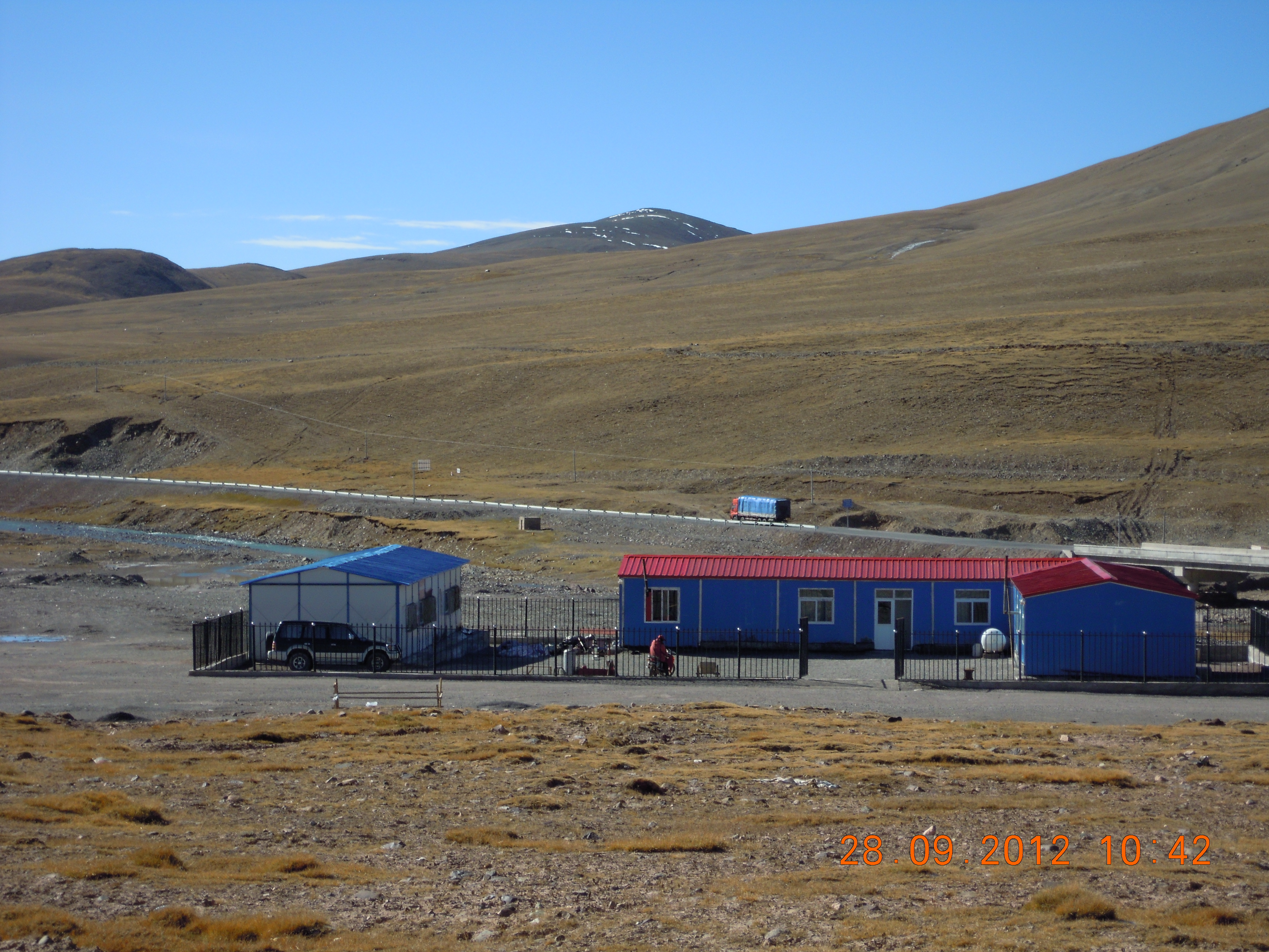
The Tanggula Cryophere Observatory is located in the central of the Tibet Plateau at an elevation of 5050m a.s.l. It is situated at the Tanggula mountain main divide, which is a crucial climate demarcation line. The railway and highway that reaches the peak has the highest elevation in the world. It also is lies in one of the source of the Dangqu River, the geographic headwaters of the Yangtze. Therefore, it is important to conduct hydrological and climatological observations at Tanggula Pass. In 1989, an observation program focusing on glacier and climatic change was initiated and the half-positioning observation stations were set up by Prof. TanDong Yao etc. At that time, the observation focused on the 16.40 km2 Dongkemadi Glacier, which lies in Dongkemadi River Basin, the backland of the Tibetan Plateau over the mid part of Tanggula Mountain (92°04'E, 33°05'N). In 2005, a modern monitoring system focused on multi sphere was built by Prof. Baisheng YE, which is covering the atmosphere, the hydrosphere, the biosphere and the cryosphere.
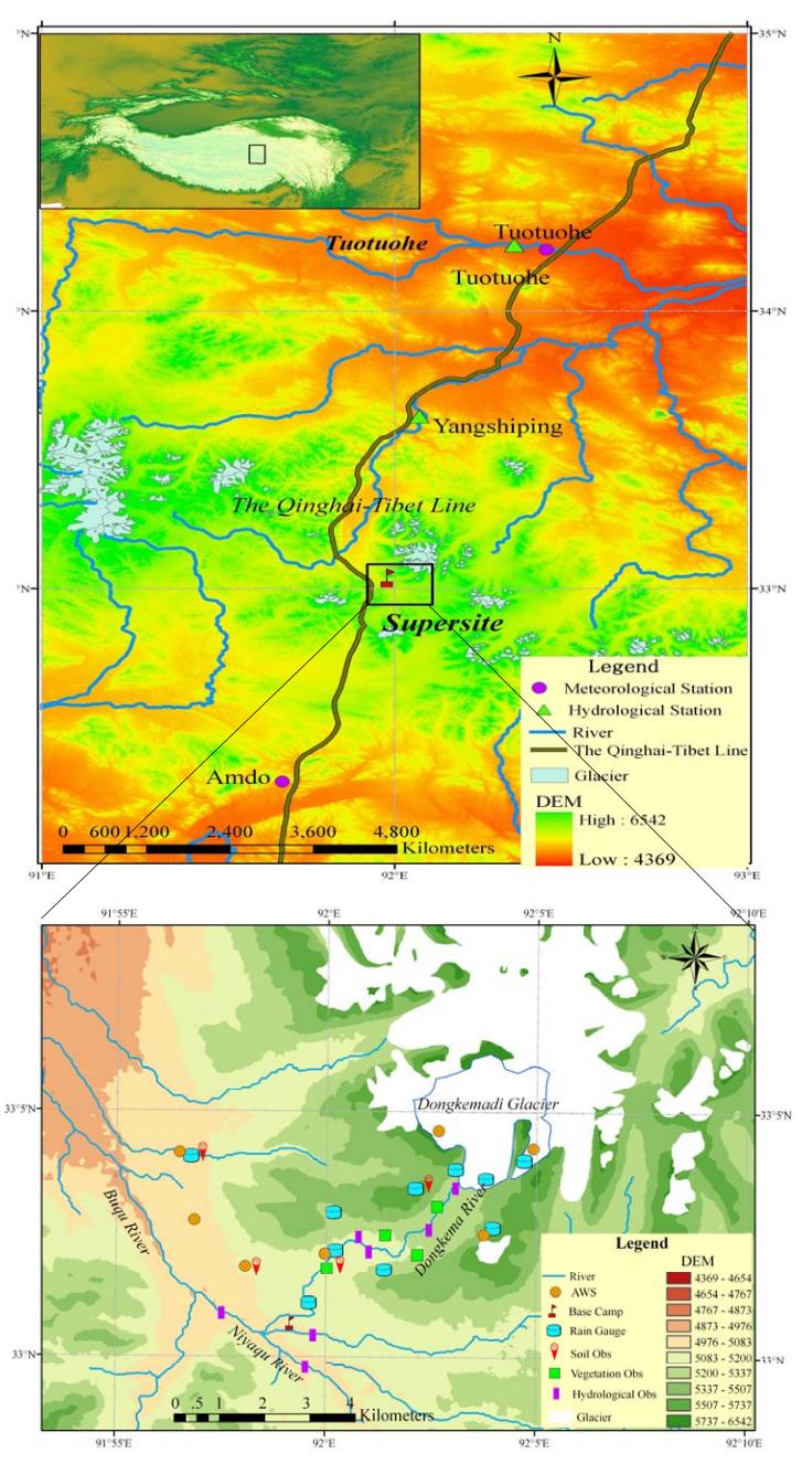
In 1989, an observation program focusing on glacier and climatic change was initiated and the half-positioning observation stations were set up by Prof. TanDong Yao etc. At that time, the observation focused on the 16.40 km2 Dongkemadi Glacier, which lies in Dongkemadi River Basin, the backland of the Tibetan Plateau over the mid part of Tanggula Mountain (92°04'E, 33°05'N). In 2005, a modern monitoring system focused on multi sphere was built by Prof. Baisheng YE, which is covering the atmosphere, the hydrosphere, the biosphere and the cryosphere.