Glaciar Norte [Candidate] Basic CryoNet Cluster Information
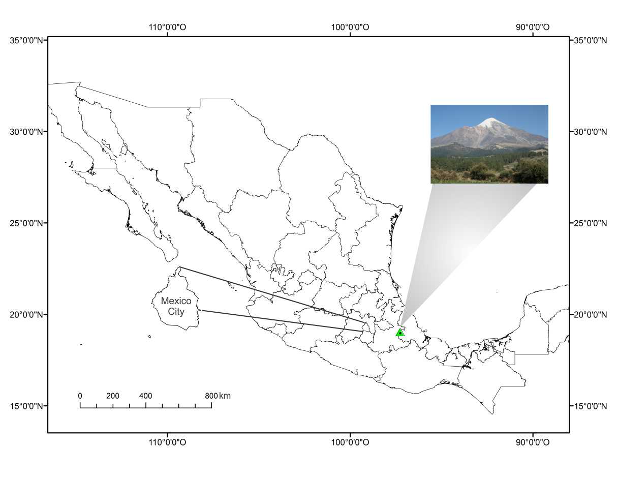
Citlaltépetl is located in the eastern part of the Trans-Mexican volcanic belt, 100 km from the coast of the Gulf of Mexico, 200 km from Mexico City (Anexed Figure).This volcanic cone lies upon the Sierra Madre Oriental mountain range that is aligned north-south to create a topographic barrier separating the dry Central Mexican plateau and the moist coastal plains along the Gulf of Mexico. Citlaltépetl is the highest volcano in North America.
Recent studies on the glacial surface of the Citlaltépetl Volcano show the seasonality of the local weather; where the temperature and the relative moisture determine the annual dry and wet seasons on the glacier.
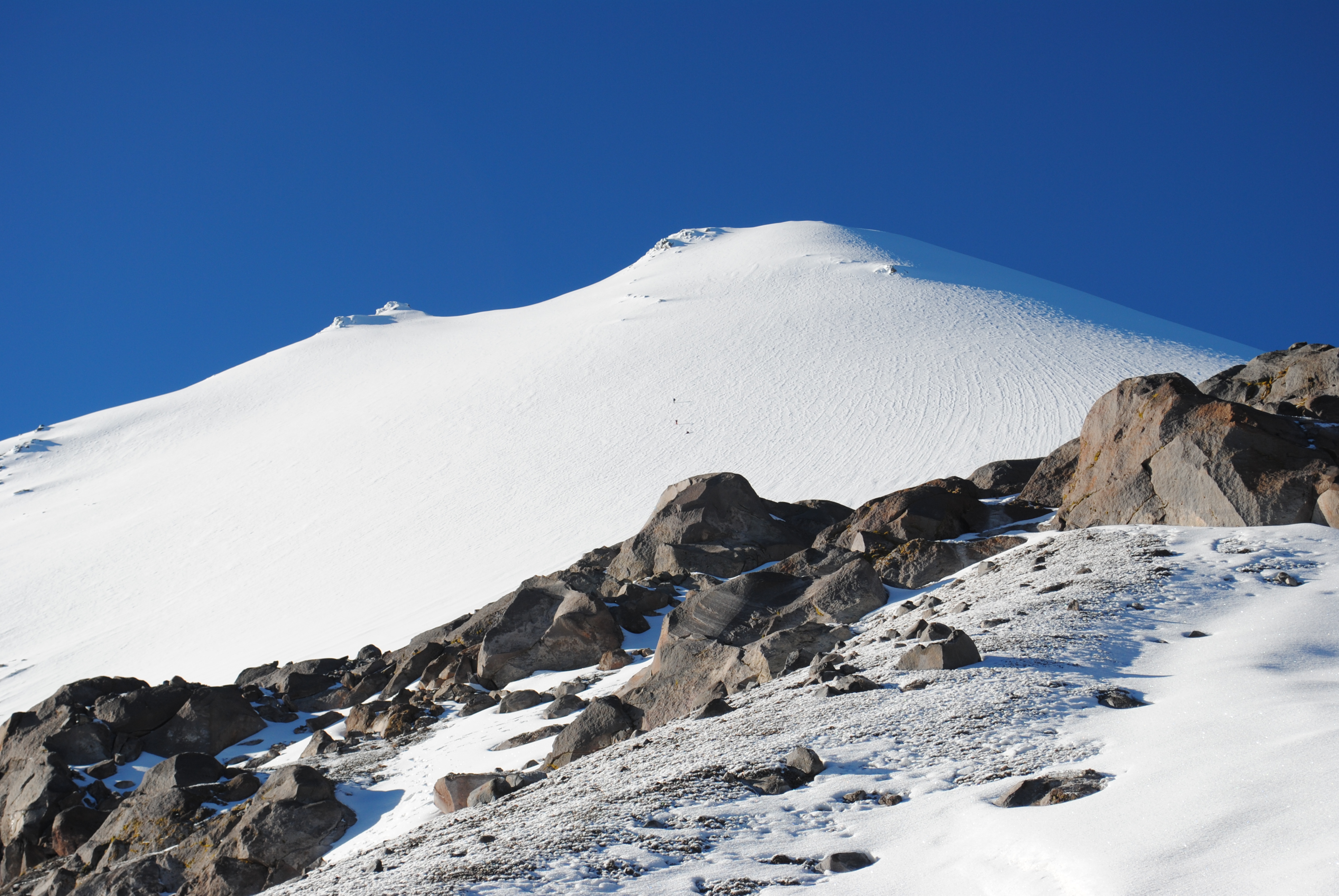
Recent studies on the glacial surface of the Citlaltépetl Volcano show the seasonality of the local weather; where the temperature and the relative moisture determine the annual dry and wet seasons on the glacier.