Gebroulaz Glacier Contributing Station Information
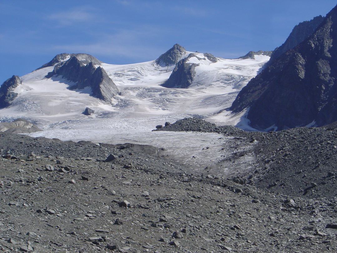
Gebroulaz glacier is a temperate glacier located in the French Alps (Vanoise area). This glacier covers an area of 3 km² and an altitude range from 2600 m to 3500 m on a North aspect. Roughly 25 sites, distributed both in ablation and accumulation area, are measured to determine mass balance. The surface is free debris cover. Annual mass balances are continuously measured every year since 1983, winter and summer mass balances since 1994. Snout position is determined since 1908 but data are fragmented between 1908 and 1983. Thickness variation are continuously determined since 1983 along 4 transverse profiles. Ice velocities are also determined along these profiles since 1983.
Other Networks to Which This Contributing Station Belongs
National : GLACIOCLIM (The GLACIers, an Observatory of the CLIMate). This network is a permanent structure funded by the French Ministry of Research, the French National center of Investigation (CNRS), the French Polar Institute (IPEV) and the French Institute for Research and Development (IRD). Only glaciological data since 1994 (mass balance, velocity, thickness and snout position) are accessible on this web site. Coordination: Delphine SIX. http://www-lgge.ujf-grenoble.fr/ServiceObs/index.htm.
International : this site is inserted in the WGMS network. Annual mass balance and snout poition are delivered in this data base. http://www.wgms.ch/index.htm
Measurement Methods Used
UNESCO
GTN-G/WGMS
Data Information
Are the data quality controlled? yes
How are the data accessible? HTTP (web)
Data availability (may depend on the variable measured): delayed more than one year
Measurements
The measurements made at Gebroulaz Glacier are listed in the following tables. (Note: If End Year is blank, measurements are ongoing.)
Cryosphere Measurements
Element
Variable
Start Year
End Year
Frequency
Glacier
Annual mass balance
1983
Continuous
Glacier
Area
1905
Sporadic
Glacier
Winter mass balance
1994
Continuous
Glacier
Velocity
1983
Glacier
Surface topography
1905
Sporadic
Measurement Notes and Other Measurements
Category
Description or List
Glacier
Snout position is measured since 1908 sporadicly (continous since 1983)

Annual mass balances are continuously measured every year since 1983, winter and summer mass balances since 1994. Snout position is determined since 1908 but data are fragmented between 1908 and 1983. Thickness variation are continuously determined since 1983 along 4 transverse profiles. Ice velocities are also determined along these profiles since 1983.