WMO GCW home

Metadata

  • Station or cluster: CryoNet Station
  • Type: Reference
  • Attribute(s): Research
  • Belongs to cluster: Davos
  • WMO ID (if any):
  • Shape: polygon
  • Latitude, longitude: 46.773573, 9.86716
  • Altitude and/or range (m): 2080; 2066-2080
  • Landscape: Mountain
  • Year established: 1975
  • Year-round? Yes
  • Operations contact: Peter Bebi
  • Science contact: Peter Bebi
  • Data contact: Joel Caduff
  • Click for website

Click here for Google Maps

Stillberg station (STILL)
Reference CryoNet Station Information

The research area Stillberg at the alpine treeline has been established in the 1950s in a collaboration between the WSL-sites Birmensdorf and Davos (“Gebirgsprogramm”). The original aim of this research program was to find appropriate methods for afforestations in potential avalanche starting zones near treeline. Since the year 1975, the research area Stillberg has been systematically planted with 92’000 trees (Larches, Stone pines, Mountain pines) and provides unique information about long term effect of different environmental factors for treeline trees. The experiences from the Stillberg have helped to afforestate high altitude sites more appropriate. During the last decades the Stillberg research area has also increasingly served as experimental basis for different experiments focusing on questions about climate change effects on treelines. Additionally it is an interesting station by being a steep (34deg) north face. The observer station is located next to the automatic weather station. It is one of very few station were snow profiles on a slope are collected at the same location over a winter. The information collected is important for both avalanche and ecological studies.

Interactive map available here: http://bit.ly/1qEgXRJ


Other Networks to Which This CryoNet Station Belongs

Other relevant measurement method documents:

SLF-Beobachterhandbuch: Vergleichsstationen

International Classification for Seasonal Snow on the Ground

Data Information

Publications

http://www.slf.ch/ueber/organisation/oekologie/gebirgsoekosysteme/infrastruktur/stillberg/Literature_EN

Measurements

The measurements made at Stillberg station (STILL) are listed in the following tables. (Note: If End Year is blank, measurements are ongoing.)

Cryosphere Measurements

Element Variable Start Year End Year Frequency
SnowDepth1975Continuous
SnowSnow water equivalent1989Continuous
SnowSnowpack profile1989Continuous
FrozengroundGround temperature1975Continuous

Atmosphere Measurements

Element Variable Start Year End Year Frequency
MetAir temperature1975Continuous
MetHumidity/vapour pressure1975Continuous
MetWind speed and direction1975Continuous
MetAir pressure1975Continuous
MetTotal precipitation1975Continuous
RadiationDownwelling shortwave1975Continuous
RadiationUpwelling shortwave1975Continuous
RadiationDownwelling longwave2007Continuous
RadiationUpwelling longwave2007Continuous
RadiationSunshine duration1975Continuous

Measurement Notes and Other Measurements

Category Description or List
SnowSnow depth measured perpendicular to slope (36°, north-east-facing)
Seasonally frozen ground- Soil temperature 0, 10, 50, 100 cm depth
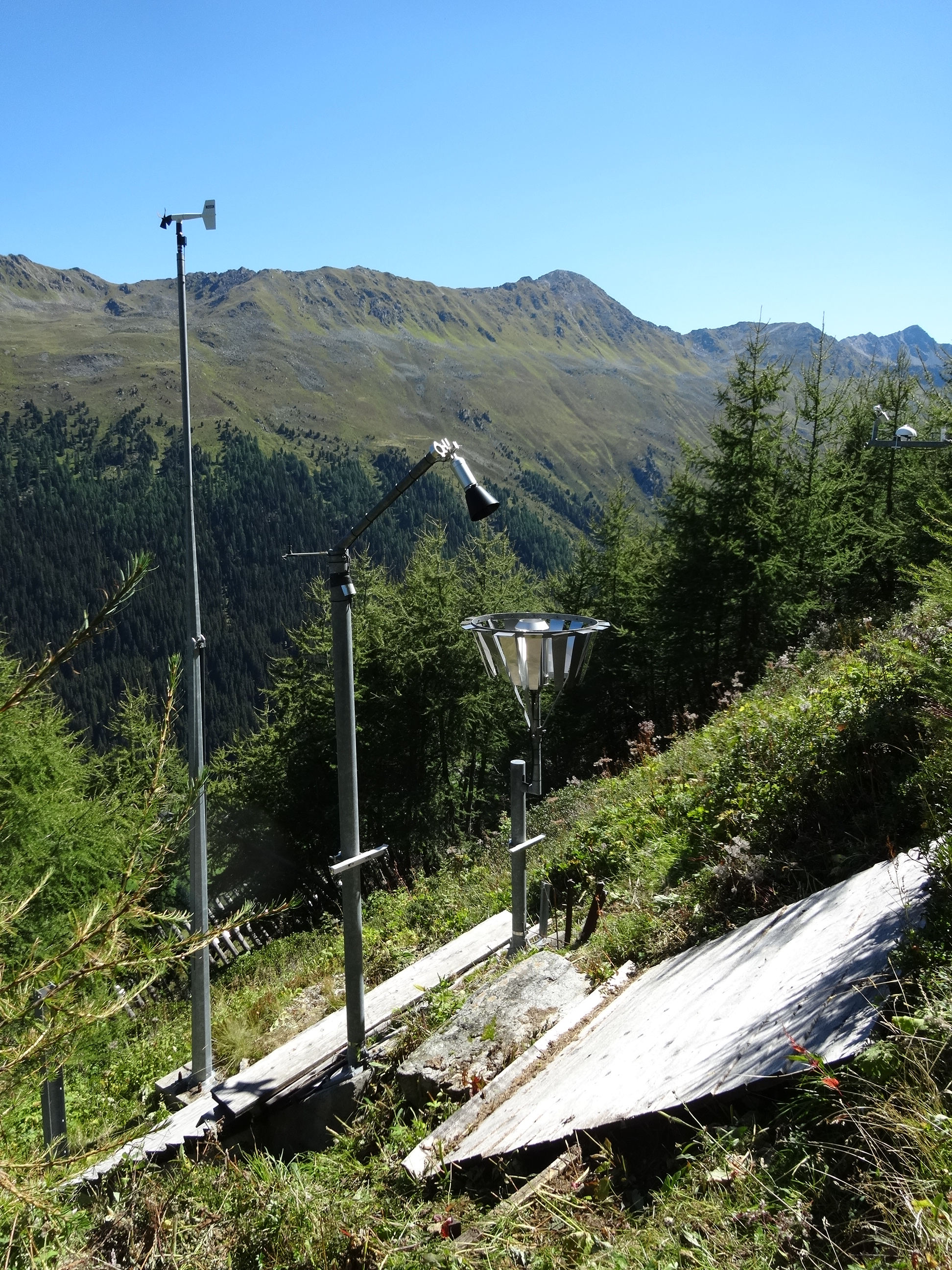
Atmosphere- Air temperature 1, 0.5, and 0.1 m

- Dew point

- ozone

- Shortwave normal (perpendicular) to slope

EcologyTree growth study site

Last updated: 14 January 2018