Sodankyla Lake Orajarvi Contributing Station Information
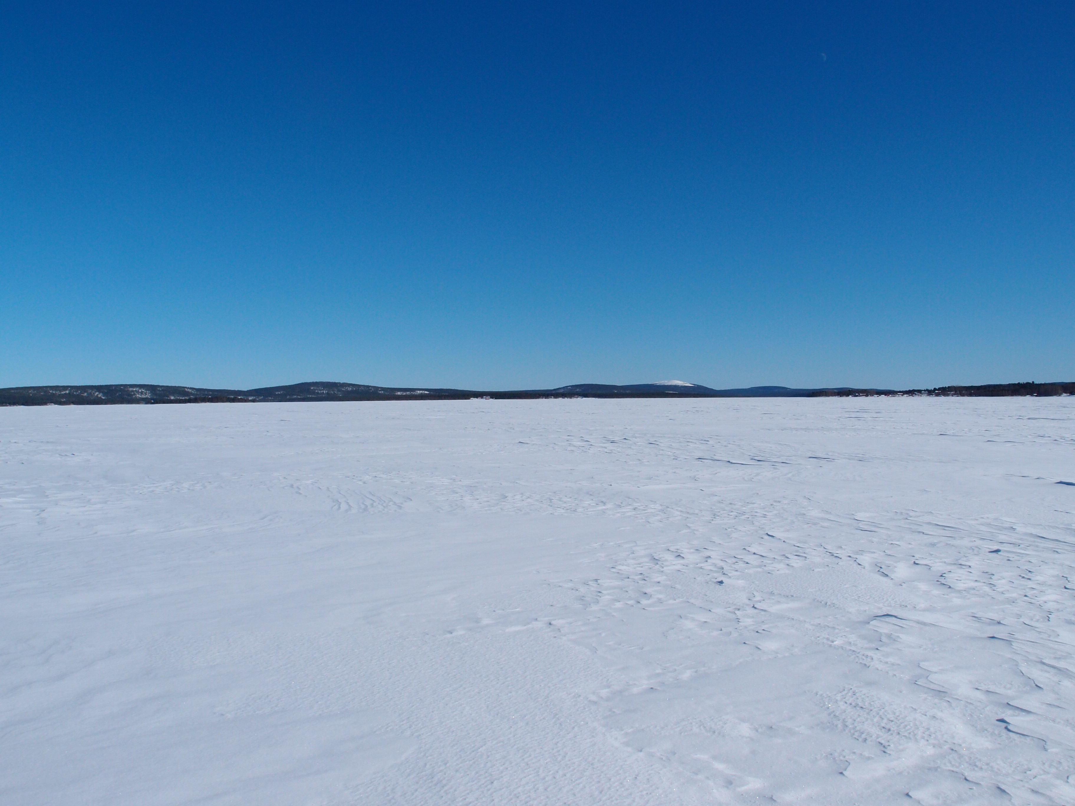
The lake Orajarvi station is located around 8 km east from the Arctic Research Station of Finnish Meteorological Institute and the primary CryoNet stations of Sodankyla. The lake covers around 11 km2 and has an average depth of 4.4 m. During the winter period, lake ice depth (layers, total ice, snow ice) and snow depth are measured at three points along transect. Measurements have been conducted every 2 weeks or every 4 weeks since winter 2009/2010.
Data Information
Are the data quality controlled? yes
How are the data accessible? FTP, HTTP (web), an existing data center
Data availability (may depend on the variable measured): delayed more than one year
Publications
Cheng, B., Vihma, T., Rontu, L., Kontu, A., Kheyrollah Pour, M., Duguay, C., and Pulliainen, J.: Evolution of snow and ice temperature, thickness and energy balance in Lake Orajarvi, northern Finland. Tellus, 66(1), doi:10.3402/tellusa.v66.21564, 2014.
Measurements
The measurements made at Sodankyla Lake Orajarvi are listed in the following tables. (Note: If End Year is blank, measurements are ongoing.)
Cryosphere Measurements
Element
Variable
Start Year
End Year
Frequency
Snow
Depth
2009
Fragmented
Snow
Snow water equivalent
2009
2014
Fragmented
Snow
Snowpack profile
2009
2014
Fragmented
Freshwater
Thickness
2009
Fragmented
Atmosphere Measurements
Element
Variable
Start Year
End Year
Frequency
Met
Air temperature
2009
2014
Fragmented
Measurement Notes and Other Measurements
Category
Description or List
Other
Ice and snow temperature profile, continuous (during wintertime), start year: 2009